


Blueprint Subsea SeaTrac USBL Positioning System


The SeaTrac Ultra Short Baseline Locating system allows you to gain awareness of the relative position of your ROV, as well as set waypoints along with your dive. Understanding where your ROV is located, and where you have already searched or investigated, can be challenging. Without the ability to utilize GPS underwater, ROVs rely on the use of sound technology for navigation and locating.
![]()
![]()
![]()
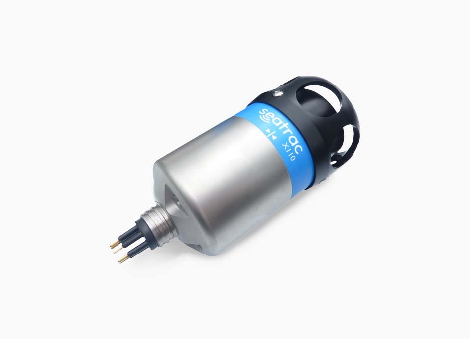
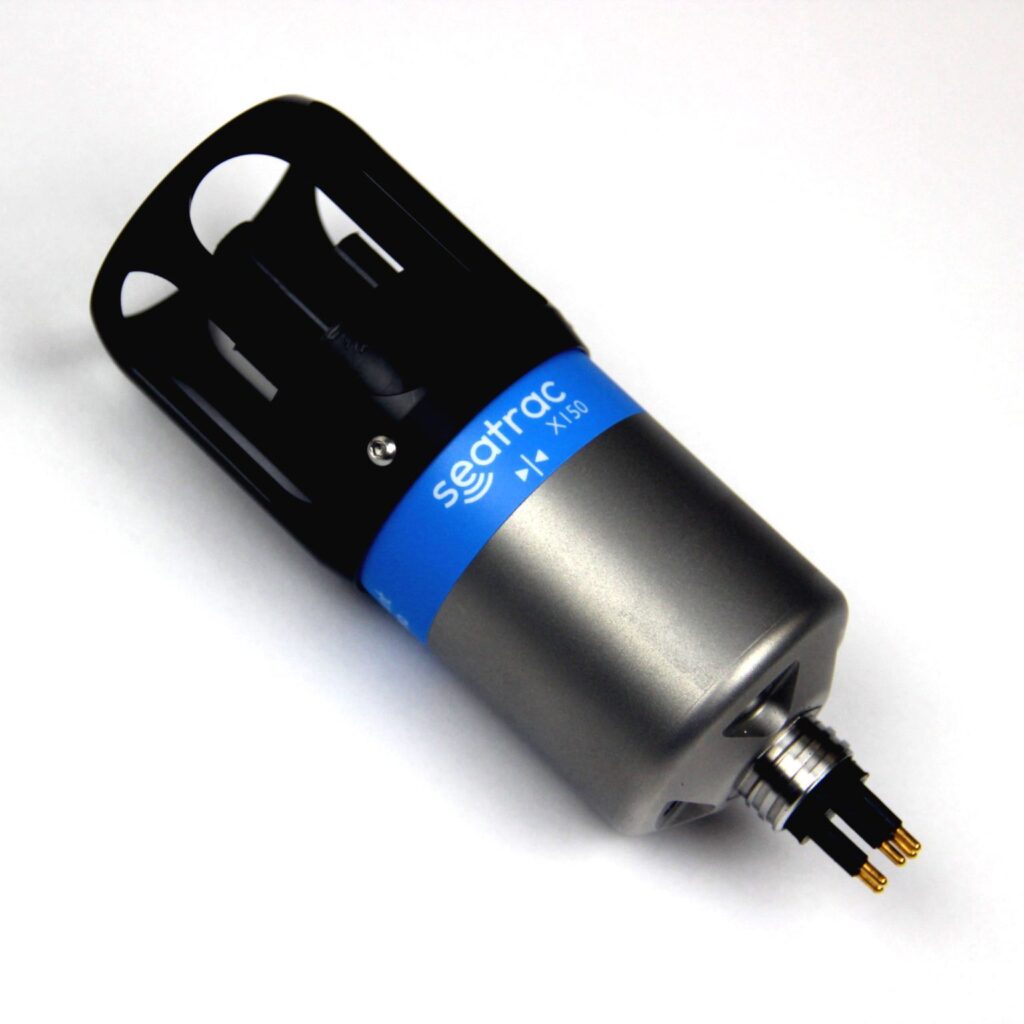
Bridge-integrated Blueprint Subsea SeaTrac Ultra Short Base Line (USBL) Positioning System for tracking ROVs
Using a dunking transducer at the surface and a transponder mounted to the top of the ROV, the two communicate using acoustics. The relative position of the ROV to the dunking transducer is calculated and then through Bridge software is displayed on a Google Map on your controller. Allowing you to visualize your position during your dive, and plot points of interest.
In open water applications where you want to know exactly where you are and where you are going, you use this positioning system to track your ROV. Our Ocean Science customers use this to track where they saw certain features and log data over the span of their dive. Inspection companies inspecting critical infrastructure use the USBL to log where they find defects and anomalies during an inspection.
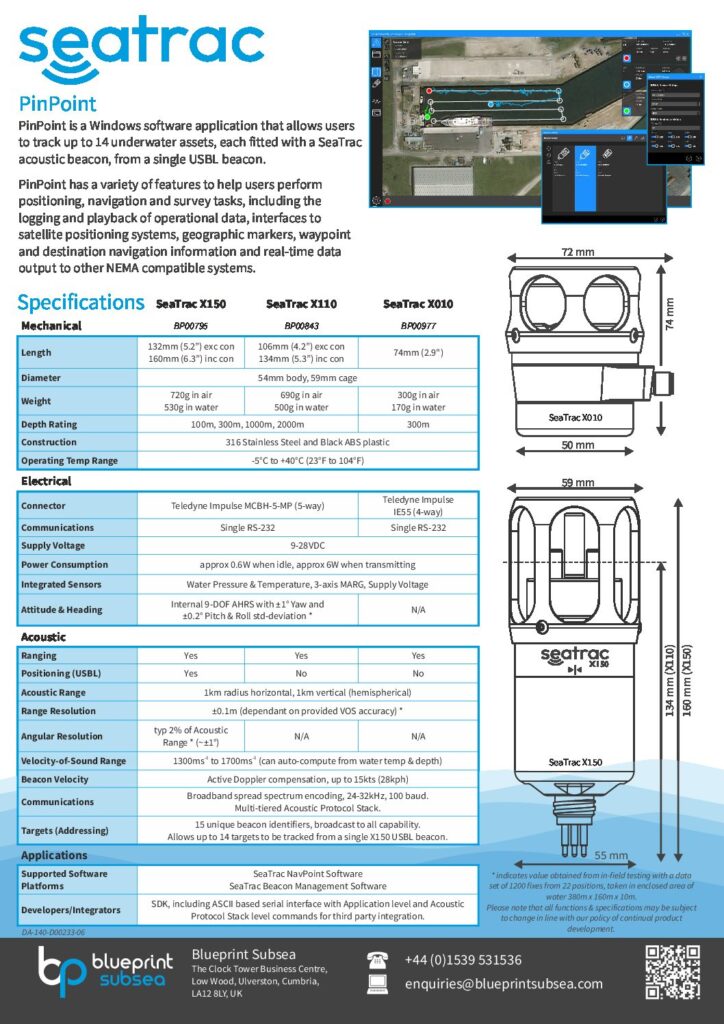
SeaTrac General Specs
| Length | 106mm (4.2”) exc con – 134mm (5.3”) inc con |
|---|---|
| Weight | 690g in the air – 500g in water |
| Diameter | 54mm body, 59mm cage |
| Depth Rating | 2000m |
| Construction | 316 Stainless Steel and Black ABS plastic |
| Operating Temp Range | -5°C to +40°C (23°F to 104°F) |
SeaTrac Acoustic Specs
| Ranging | Yes |
|---|---|
| Acoustic Range | 1km radius horizontal, 1km vertical (hemispherical) |
| Range Resolution | ±0.1m (dependent on provided VOS accuracy |
| Velocity-of-Sound Rang | 1300ms to 1700ms (can auto-compute from water temp & depth) |
| Beacon Velocity | Active Doppler compensation, up to 15kts (28kph) |